Hydrology Network
INSTRUMENTATION
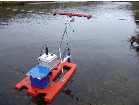
The Department of Hydrology is responsible for monitoring surface flows, springs, lakes, seas, lagoons and groundwater. The hydrological monitoring network consists of manual and automatic stations. Data from the network of manual monitoring stations (105 stations) are recorded by observers 2 times a day at 7:00 and 19:00. This data is recorded in a book by the observer and every month the information is sent to IGEO, the Institute of Geosciences by mail. This information is digitized, checked for quality and then archived in the MCH database. The network of automatic stations consists of 25 stations, of which 20 stations distributed throughout the territory are an investment of the World Bank and 5 stations located in the Drin Buna Basin are an investment of the German Government through GIZ. Automatic stations transmit data every 2 hours, but the system is remotely configurable. Some of the parameters measured by the hydrological network are (water level, water temperature and dependent sediments). This data is automatically stored in the MCH database.
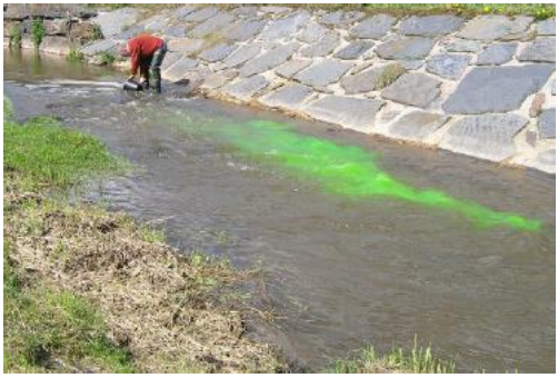
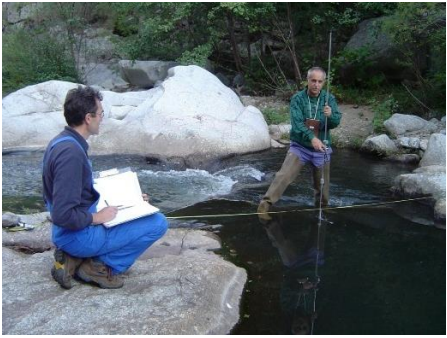
Traditionally, the measurement of river flows in Albania has been done with the method of flow velocities, using current meters, propellers. In recent years, Acoustic Doppler Current Profiler (ADCP) devices have been used for flow measurements, which enable the measurement of flows with high efficiency and accuracy. Flow measurements at hydrometric stations based on WMO recommendations should be performed 6-8 times at different times of the year (to capture different water levels). Through these measurements, the flow curve is constructed for each station, which then serves to return the daily levels to the flow.